Sisimiut, the second-largest town in Greenland with a population of around 5,500, is a gateway to the Arctic wilderness. Yet you don’t need a multi-day expedition to experience the dramatic landscape. Within a 5-kilometer radius of the town center, several well-marked trails offer easy day hikes suitable for most fitness levels. These routes provide views of fjords, mountains, and the Kangerlussuaq Fjord, and can be done in a few hours. This guide covers the best easy day hikes around Sisimiut, with practical details on distance, elevation, terrain, and how to get to the trailheads.
1. The Blue Church Trail (Blå Kirke Sti)
The Blue Church Trail is the most popular short walk in Sisimiut. It starts at the iconic blue church (Sisimiut Kirke) on the hill above the town center. The trail is a 2.5 km loop that climbs gently to a viewpoint overlooking the harbor, the town, and the Davis Strait. The path is mostly gravel and well-maintained, with benches at the top. Elevation gain is about 100 meters. Allow 45 minutes to 1 hour. The trail is accessible year-round; in winter it is used for snowshoeing and cross-country skiing. From the church, follow the wooden signpost marked “Blå Kirke Sti”. The loop returns via a different route that passes a small lake.
2. The Harbour Walk (Havnevej to the Container Port)
This is a flat, paved walk along the waterfront, ideal for a relaxed stroll or a quick hike. Starting at the main harbor (Sisimiut Havn), walk east along Havnevej past the fish processing plants and the Royal Greenland factory. After 1.5 km you reach the container port and a small beach with views of the fjord. The total distance is 3 km round trip. No elevation gain. This walk is best in summer (June–September) when the midnight sun provides extended daylight. Along the way, you can observe fishing boats, seals, and occasionally whales in the fjord. The path continues beyond the port as a dirt track, but for a day hike, turning around at the container port is sufficient.
3. The Ski Slope Trail (Sisimiut Skibakke)
Behind the town, a gentle hill is used as a ski slope in winter. In summer, it becomes a straightforward hike to a plateau with panoramic views. The trailhead is at the end of Qaqqaqqaq Road (follow signs for “Skibakke”). The hike is 1.5 km one way, with an elevation gain of 150 meters. The path is a grassy slope with a few rocky sections. At the top, you can see the entire town, the airport, and the mountains to the east. This hike takes about 30–40 minutes up and 20 minutes down. It is suitable for children. There are no facilities, so bring water.
4. The Airport Loop (Lufthavnsrundt)
Sisimiut Airport (JHS) is located 4 km northwest of town. A flat gravel road connects the town to the airport, and a loop around the airport perimeter offers a 5 km hike with minimal elevation. Start at the roundabout near the airport entrance. Follow the service road that circles the runway (stay outside the fence). The loop is 4.5 km and takes about 1 hour. You’ll have views of the runway, the fjord, and the surrounding tundra. This hike is popular for plane spotting; Air Greenland operates Dash 8 flights to Nuuk and Kangerlussuaq. The airport has a small café open during flight times. For more on flights, see Air Greenland routes to Sisimiut, Kangerlussuaq, and Nuuk.
5. The Coal Mine Ruins (Kulmine Sti)
About 3 km east of town, near the mouth of the Kangerlussuaq Fjord, lie the ruins of an old coal mine that operated from the 1920s to the 1970s. The trail starts at the end of the road past the container port (follow the dirt track). The hike is 3.5 km one way along a rocky path with some uneven terrain. Elevation gain is about 50 meters. The ruins include concrete foundations, a rusted cable car, and a small dock. Interpretive signs (in Greenlandic and Danish) explain the history. Allow 2 hours round trip. This hike is best in dry weather; after rain, the path can be muddy. Combine it with the Harbour Walk for a longer outing.
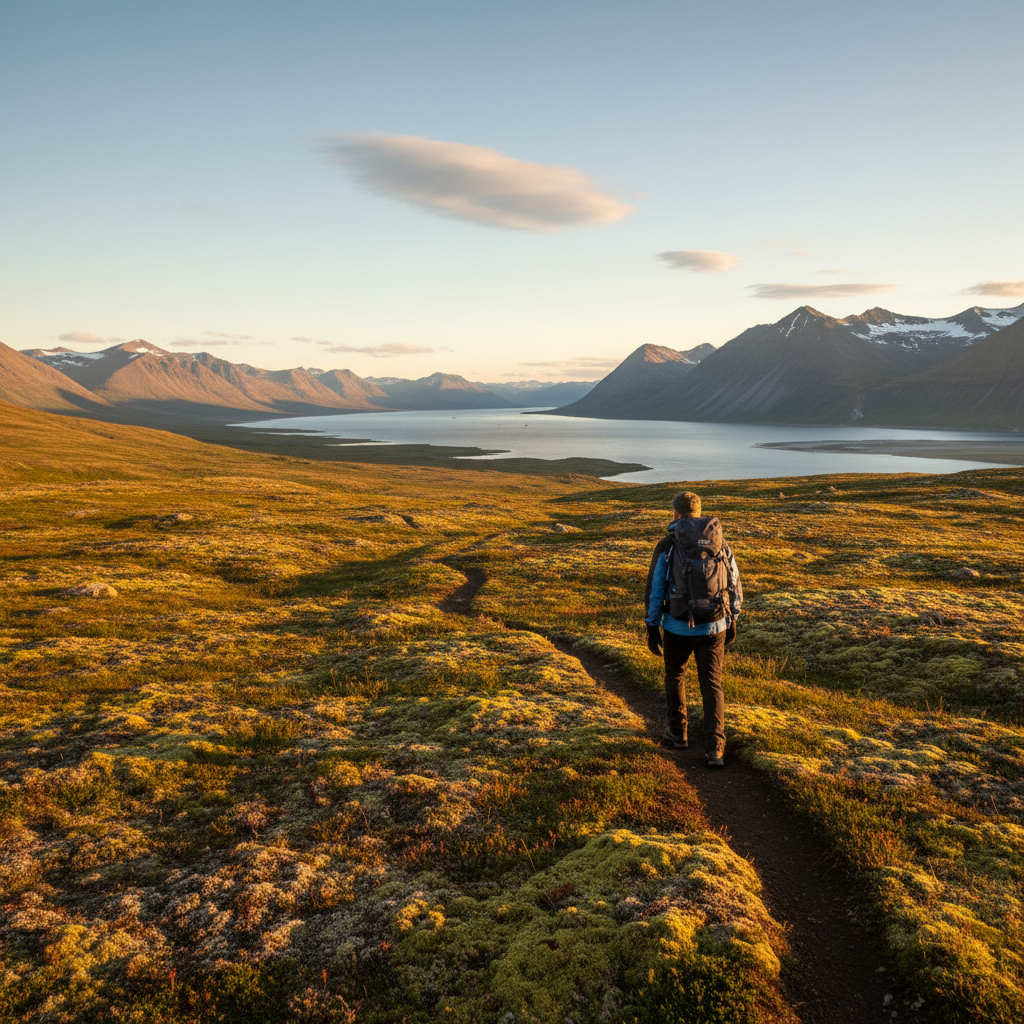
6. The Mountain View Trail (Fjeldudsigt Sti)
This trail starts near the hospital (Sisimiut Sygehus) and climbs to a ridge behind the town. The trail is 2 km one way with an elevation gain of 200 meters. The path is steep in sections but well-defined. At the top, you are rewarded with a 360-degree view of Sisimiut, the fjord, and the ice cap in the distance. This is the most strenuous of the easy hikes, but still doable in 1.5 hours round trip. The ridge continues east toward Mount Nasaasaaq (784 m), but that is a longer, more difficult hike beyond the 5 km scope. For a shorter option, turn back after reaching the first viewpoint.
7. The Beach Walk (Strandpromenaden)
The sandy beach at the southern edge of town, known as “Sisimiut Strand”, is a 2 km walk from the center. Follow the coastal path from the harbor past the football field and the heliport. The beach is a mix of sand and pebbles, with shallow water safe for wading in summer. The walk is flat and takes 25 minutes one way. At low tide, you can explore tidal pools. This is a popular spot for picnics and sunset views (though in summer, the sun barely sets). The beach has no facilities, so plan accordingly.
Practical Tips for Day Hikes in Sisimiut
- Weather: The Arctic climate is changeable. Even in July, temperatures average 8–12°C (46–54°F). Bring a windproof jacket and layers. Rain is common; waterproof footwear is recommended.
- Footwear: Sturdy walking shoes or light hiking boots are sufficient for these easy trails. Trail runners work in dry conditions.
- Navigation: Trails are marked with wooden posts or cairns. Download the offline map from the complete guide to Sisimiut for backup. Cell reception is good near town but fades on the outskirts.
- Food and water: There are no shops or taps on the trails. Bring at least 1 liter of water per person and snacks. The supermarket Pisiffik (near the harbor) sells packed lunches.
- Wildlife: You may see Arctic hares, reindeer (in the hills), and seabirds. Keep a respectful distance. Mosquitoes can be numerous in July; bring repellent.
- Safety: The trails are safe, but always tell someone your route. In case of emergency, dial 112. The nearest hospital is in town.
Getting to the Trailheads
All trailheads are within walking distance from the center of Sisimiut. The town is compact; the main street (Aqqusinersuaq) runs from the harbor to the airport. A taxi from the center to the airport costs around 50 DKK (7 USD) and can be booked via the hotel or the taxi stand near the supermarket. For those arriving by ferry, the Sarfaq Ittuk coastal ferry docks at the main harbor, steps from the Harbour Walk trailhead. If you are flying into Sisimiut, the airport is 4 km from town; you can walk the Airport Loop directly from the terminal. For connections, see how to get to Sisimiut in 2026.
When to Go
The hiking season runs from June to September, when the snow has melted and the trails are dry. July and August offer the warmest temperatures and the midnight sun, with 24-hour daylight. In June, the snow may still linger on higher slopes. September brings autumn colors and fewer mosquitoes, but cooler temperatures and shorter days. For more on summer activities, read Sisimiut summer: boats, hikes, and midnight sun 2026.
Combining Hikes with Other Activities
These day hikes can easily be combined with visits to local attractions. The Sisimiut Museum (located near the church) offers exhibits on 4,500 years of settlement. After a morning hike, have lunch at the cafeteria Misigisaq (see where to eat in Sisimiut). For a longer adventure, consider the Arctic Circle Trail, which starts just outside town; see the Arctic Circle Trail complete hut-to-hut guide for details.
Related articles
- The Complete Guide to Sisimiut, Greenland 2026
- How to Get to Sisimiut 2026: Flights, Ferries, Routing
- Sisimiut Summer: Boats, Hikes, Midnight Sun 2026
- Arctic Circle Trail: Complete Hut-to-Hut Guide 2026
- Sisimiut Museum: 4,500 Years of Arctic Settlement